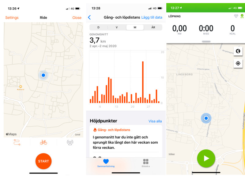
Strava, iPhone Health app, Endomondo and Google Maps
Strava, iPhone Health app, Endomondo and Google Maps vs Volkswagen Golf with traditional mechanical distance measurement. What is the most correct distance measurement?
Who is right? Who gives us most correct distance measurement? How can we know how many kilometers we have been walking or running?
There are different apps for smartphones that could be used for measuring distance. And not only distance, they can give us other information too. Some examples are: Strava and Endomondo. But what if we are not interested in those phone apps?
If we have iPhone and simply want to use the Health app then we can do it. The app uses GPS for measuring distance and it also measures our steps. Can we trust that app? Is the information about distance correct? If we do not trust it and want to compare to others, e.g. Google Maps, what do we have to think about?
We can take an example. Let say that you run with your iPhone in the pocket. The Health app says you have run some kilometers, Strava and Endomondo say something else. Google Maps also says something else. (You measure the distance manually on Google Maps on you computer.) Why are the numbers different? Who gives us correct numbers, iPhone Health app, Strava and Endomondo apps or Google Maps?

Phone apps and Google vs Volkswagen
We have made some tests where we also included one more way of mesauring the distance so we chose a distance from point A to point B. We drove Volkswagen Golf from 2018 with traditional mechanical distance measurement. Then we went out and walked back with iPhone in the pocket. Afterwards we mesaured the distance also with Google Maps. What was the conclusion?
- Google Maps was closest to the car. Their results appeared to be very close to eachother.
- The iPhone Health app, Strava and Endomondo did not have big variation in the results but we could see differences in 20-80 meters.
However, Google Maps can behave differently. If there are elevations on some parts of the chosen distance, the result will be a lower number of meters/kilometers.
On a 10-11 km distance where some visible elevations were included, Google Maps actually presented around 1,5 km shorter distance. This fenomena is explained by Google: Measurements don’t account for changes in elevation.
Finally, what app should we choose?
It feels like all those profesional apps which use GPS are reliable even though we can experience some smaller variations so it’s up to all of us to choose the one we feel comfortable with. We should also avoid Google Maps in cases where there are noticable elevations just to avoid deviations.
Back to the to previous page
® All Rights reserved Justfindit.se Magazine 2014.